Stadtneugründung Rheinisches Revier – Competition Design
Stadtneugründung Rheinisches Revier – Competition Design
Details
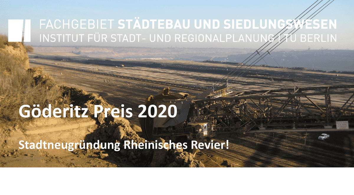
In my last studio course, I participated in the competition design of the City re-establishment of the Rheinisches Revier 2020.
Together with Nathan Bram, Tion Kudlek, we created the proposed design for a new city.
In the first stage, we engaged in extensive research and documentation using Miro board. You can view a screenshot in the google drive through the link below;
https://drive.google.com/drive/folders/1KyRHgXmOkoD1y_hsaKhkBlVQLO833i2J?usp=sharing
During our preliminary analysis, we documented the past and present situation of the Garzweiler region.
We further documented information about the source of C02 emission in the region, we created a collage of the settlement in the Garzweiler region before destruction and collage of the destruction and resettlement, map of the green open space of the region, map of the land use house and industry, and climate map, erosion risk map, water bodies map, and mobility map.
You can view the pdf through the google drive link below with the file name “Garzweiler 002”.
https://drive.google.com/drive/folders/1KyRHgXmOkoD1y_hsaKhkBlVQLO833i2J?usp=sharing
How do we claim the mining pit?
After our preliminary analysis, we thought about how we could claim the mining pit
we found out that;
– Green space was immensely missing in the region,
– Open accessible spaces was missing and
– Economic innovation centers were also missing.
In order to address these issues, we started with the conceptual development
We came up with a concept of shattered grid and the name Shard city which also reflected in our master plan. Towards the completion of our design, we created another presentation with a better explanation of our ideas, first, you will see;
On the “Garzweiler 003” pdf from google drive,
The structural plan-water shows the water system where we intended to connect the water flow from the east side above the ground to the mining pit so that we can have good water quality as one of the city features. the water flows in from the Erft river and it flows out towards the north river (Niers).
We also addressed the issue of green space, the most important green development we added is on the little island inside the lake and also in the southern area which you can see on the structural plan-green.
Structuring the knot
We further structured the design around 3 major knots which are;
the mobility hub, scientific and educational core, and waterfront landscape.
These knots formed the basic structure of our city design.
In the final stage, we were restricted to “3 PDFs” for final submission.
You can view the higher resolution pdf via the google drive link with the file name “Shard City – Babatunde, Nathan, Tion”.
https://drive.google.com/drive/folders/1KyRHgXmOkoD1y_hsaKhkBlVQLO833i2J?usp=sharing
Sources:
https://www.youtube.com/watch?v=63b609pLhMU
https://www.group.rwe/en/our-portfolio/our-sites/garzweiler-mine-site
https://epub.wupperinst.org/frontdoor/deliver/index/docId/7265/file/7265_Phasing_Out_Coal.pdf
http://euracoal2.org/download/Public-Archive/Events/Mine-Visits/160503_Site_Visit_GRZ_Euracoal.pdf
https://www.mining-technology.com/projects/rhineland/
https://www.ende-gelaende.org/en/news/we-shut-shit-down/
https://www.cleanenergywire.org/factsheets/germanys-three-lignite-mining-regions
INITIAL BRIEF
City re-establishment of the Rheinisches Revier!
The “largest landscaping construction site in Europe” – the cross-border region between Cologne, Aachen, Maastricht and Liège – is to be converted into a model region for sustainable structural change in a polycentric urban landscape and, as part of this, a new city for 50,000 inhabitants is to be built. Not only the political decision to withdraw from lignite mining, but also ongoing urban-rural hikes and acute housing shortages pose enormous challenges for the Rheinische Revier. Against this background, the establishment of a new city is discussed.
In the Rhenish Revier, the rededication of the expiring open-cast lignite mine offers the opportunity to address key future issues such as the development of new mobility concepts, dealing with climate change, new opportunities through advancing digitization and the testing of innovative structural and spatial concepts – a new city in a special location to plan exemplarily. An exemplary handling of land use, traffic turnaround, material turnaround (i.e. the move away from fossil to renewable energy sources) and resource cycles to be closed can be designed and tested in a holistic way.
Johannes Göderitz competition – student ideas competition
The task of the Johannes Göderitz competition consists in the conception and design of a new city and its building blocks. On the basis of guidelines and development principles that have already been discussed and are to be newly drawn up, solutions for a city in a former open-cast lignite mine are to be found.
An analysis of the location is to be carried out, from which objectives, programming, and a model for the new city are to be developed. The urban development master plan to be drawn up is intended to provide answers to current issues in urban development. Subject areas that help create an identity and help the city stand out should be highlighted and elaborated accordingly. Overall, a future-oriented approach to social and technological development must be ensured. Conceptual couplings for a more sustainable urban development should be considered (e.g. public space + digitization + networking; logistics + production + sales / trade; culture + education + learning landscapes).
Objective: As part of the Johannes Göderitz competition, development principles and guidelines for founding a new city for approx. 50,000 inhabitants are to be developed and converted into an urban planning concept. A high degree of independence and autonomy are decisive for the quality of the new city. In addition to being a stand-alone city idea with great potential for identification, the new city should fulfill all the functions of a full-fledged city as far as possible.


